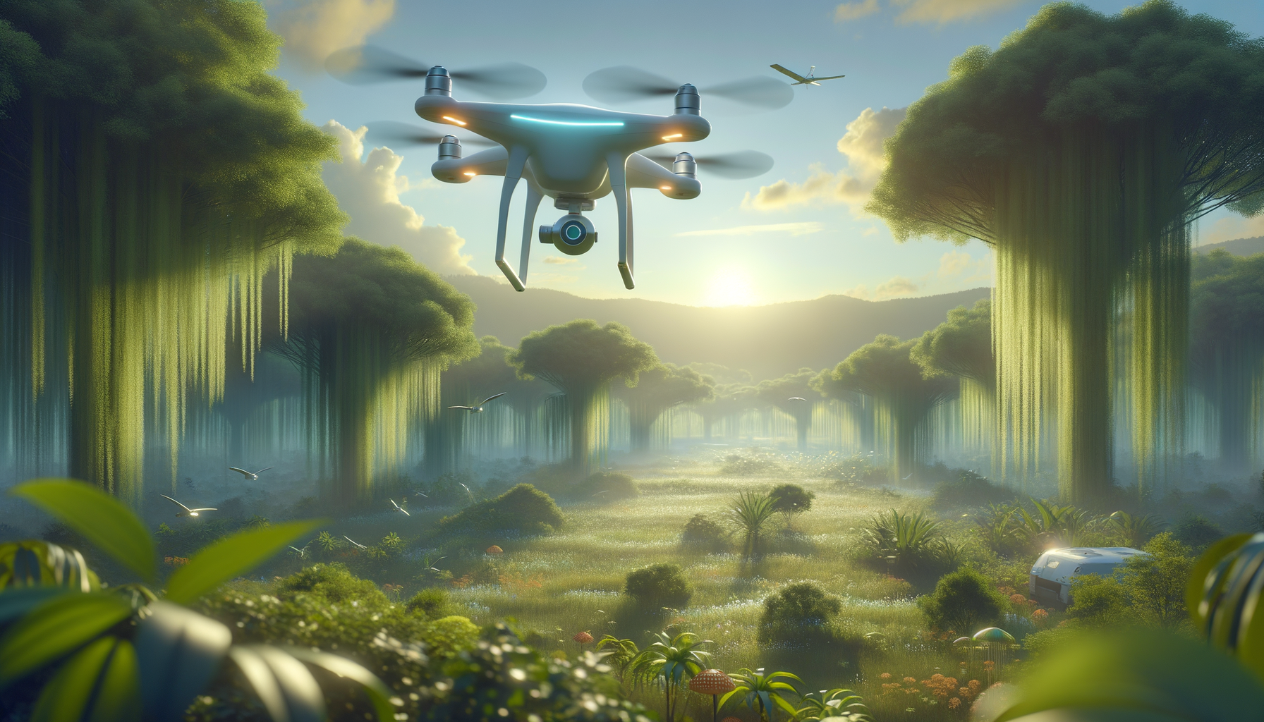
The Democratization of Environmental Monitoring: Low-Cost and Accessible Remote Sensing with UAVs
Introduction to UAV Remote Sensing
Unmanned Aerial Vehicles (UAVs), commonly known as drones, have revolutionized the field of remote sensing, offering new dimensions of data collection and analysis. Their ability to capture high-resolution images and data from various altitudes and angles has made them indispensable in numerous fields, particularly in environmental monitoring. The democratization of UAV technology has made it accessible to a wider audience, enabling low-cost and efficient data collection that was previously the domain of expensive satellite or manned aircraft systems.
UAV remote sensing is characterized by its versatility and adaptability to different environments and applications. Whether monitoring deforestation, assessing agricultural health, or studying marine ecosystems, UAVs provide a flexible platform for real-time data acquisition. This article explores the various aspects of UAV remote sensing, highlighting its potential to transform environmental monitoring practices worldwide.
Technological Advancements in UAV Remote Sensing
The technological advancements in UAV remote sensing have been significant, with innovations in sensors, data processing, and flight capabilities. Modern UAVs are equipped with a range of sensors, including multispectral, hyperspectral, thermal, and LiDAR, each providing unique insights into environmental conditions. These sensors allow for detailed observations that can detect changes in vegetation health, surface temperatures, and topographical features.
The integration of artificial intelligence and machine learning into UAV systems has further enhanced their capabilities. AI-driven data analysis enables the rapid processing of vast amounts of data, identifying patterns and anomalies with greater accuracy. This technological synergy allows for predictive modeling and real-time decision-making, which are crucial in managing environmental challenges.
Moreover, improvements in battery life and flight range have extended the operational capabilities of UAVs, making them suitable for long-duration missions over large areas. This is particularly beneficial for monitoring remote or inaccessible regions, where traditional methods are impractical or cost-prohibitive.
Applications of UAV Remote Sensing in Environmental Monitoring
UAV remote sensing is employed across various environmental monitoring applications, providing valuable data that supports conservation and management efforts. One prominent application is in agriculture, where UAVs are used to monitor crop health, optimize irrigation, and assess yield potential. By analyzing multispectral imagery, farmers can identify stress areas and implement targeted interventions to improve productivity.
In forestry, UAVs are utilized to track deforestation, forest health, and biodiversity. They offer a cost-effective means to survey large forested areas, providing data that informs reforestation and conservation strategies. Similarly, UAVs play a crucial role in monitoring coastal and marine environments, where they assess erosion, coral reef health, and pollution levels.
Disaster management is another area where UAV remote sensing proves invaluable. UAVs can quickly deploy to disaster-stricken areas, providing real-time data that aids in assessing damage, planning relief efforts, and ensuring the safety of rescue operations. Their ability to operate in hazardous conditions makes them an essential tool in emergency response.
Challenges and Limitations of UAV Remote Sensing
Despite the numerous advantages of UAV remote sensing, several challenges and limitations must be addressed to fully realize its potential. One significant challenge is the regulatory environment, which varies considerably across countries. Navigating these regulations can be complex, requiring operators to obtain necessary permits and adhere to flight restrictions.
Technical limitations also exist, particularly concerning data processing and storage. The high-resolution data captured by UAVs require substantial processing power and storage capacity, which can be a constraint for smaller organizations. Furthermore, the interpretation of data requires expertise, as incorrect analysis can lead to inaccurate conclusions and misguided decisions.
Weather conditions pose another limitation, as UAV operations are often sensitive to wind, rain, and visibility. Adverse weather can affect flight stability and data quality, necessitating careful planning and contingency measures. Addressing these challenges requires ongoing research and development, as well as collaboration between stakeholders to create supportive frameworks for UAV integration.
The Future of UAV Remote Sensing
The future of UAV remote sensing holds exciting possibilities, driven by continuous technological advancements and growing recognition of their value in environmental monitoring. As UAV technology becomes more sophisticated, its applications are expected to expand into new areas, such as urban planning, wildlife monitoring, and climate change studies.
Collaboration between governments, academia, and industry will be key to advancing UAV remote sensing. By fostering partnerships and sharing knowledge, stakeholders can develop innovative solutions that address current limitations and enhance the effectiveness of UAV deployments.
Moreover, the integration of UAV data with other remote sensing platforms, such as satellites and ground-based sensors, will provide a comprehensive understanding of environmental phenomena. This holistic approach will enable more informed decision-making and contribute to sustainable development goals, ultimately benefiting society as a whole.